


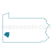
MUNHALL DIST 09, Allegheny County, Pennsylvania
About
Outline

Summary
| Unique Area Identifier | 656675 |
| Name | MUNHALL DIST 09 |
| County | Allegheny County |
| State | Pennsylvania |
| Area (square miles) | 0.22 |
| Land Area (square miles) | 0.22 |
| Water Area (square miles) | 0.00 |
| % of Land Area | 100.00 |
| % of Water Area | 0.00 |
| Latitude of the Internal Point | 40.40320310 |
| Longtitude of the Internal Point | -79.89130390 |
Maps


Graphs
Select a template below for downloading or customizing gragh for MUNHALL DIST 09, Allegheny County, Pennsylvania


Neighbors
Neighoring Voting District (by Name) Neighboring Voting District on the Map
- MUNHALL DIST 01, Allegheny County, PA
- WHITAKER DIST 01, Allegheny County, PA
- WHITAKER DIST 02, Allegheny County, PA